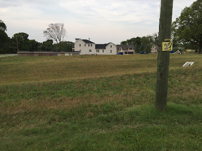
There is a big push, despite the drought, to plant trees in Nashville right now (see the wonderful work of the Nashville Tree Task Force: https://www.facebook.com/groups/1157459857620239/.
Rightfully so as there is rapid development leading to big changes - too many of which involve clear cutting.
***
When planting, please consider the future sidewalk if you do not have one. Learn where the right-of-way is so that you can locate your beautiful new tree in a place where it will not need to be moved when you finally get your sidewalk.
For clarity, trees really help when walking - Nashville is HOT in the summer! We want trees between the cars and the sidewalks as they make a fantastic green buffer. Be smart in the planting. One thing that can significantly stall a sidewalk is when one neighbor has invested in infrastructure or has planted trees in the right-of-way. No one wants to create bad feelings but having to tear out someone's rock wall or cut down their tree when the sidewalk finally comes.
For clarity, trees really help when walking - Nashville is HOT in the summer! We want trees between the cars and the sidewalks as they make a fantastic green buffer. Be smart in the planting. One thing that can significantly stall a sidewalk is when one neighbor has invested in infrastructure or has planted trees in the right-of-way. No one wants to create bad feelings but having to tear out someone's rock wall or cut down their tree when the sidewalk finally comes.
***
Don't plant all the way to the road so there is literally no place for pedestrians.
***
A property survey is the only absolute way to determine property boundaries. One way to generally check boundaries is to use our interactive mapping site with parcel line data on top of aerial photographs. Here’s how you do it.
1. Go to this site - http://maps.nashville.gov/ParcelViewer/
2. Click “Continue.”
3. Zoom into the area of town you are interested in or Click on the magnifying glass in the upper right hand corner. You can enter either the Parcel ID or Address.
4. Once you are zoomed in close enough or typed in an address, the parcel lines will show up on the map.
5. Click the box in the upper right hand corner that has four smaller boxes in it.
6. Select the “2014 Aerial Imagery.” You should now have an aerial photo of that area that you can compare with the property boundaries.


No comments:
Post a Comment